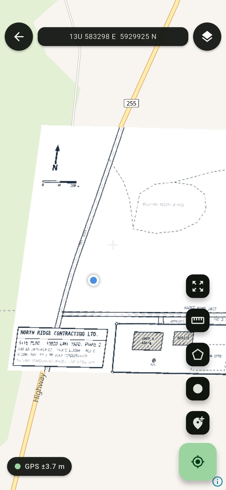
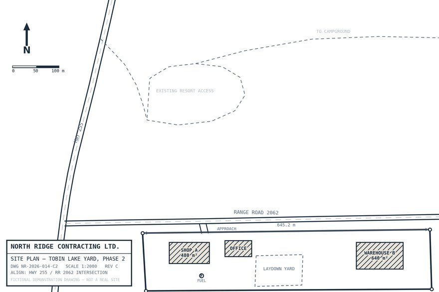
Geospatial PDF or GeoTIFF — it shows up already positioned.
Pick any area on Earth, choose a detail level, save it to the phone.
Blue dot on your map, no signal. Everything already on the phone.
Match a few points in the app and any picture becomes a working map.
Download any area in the world for offline use, at the detail level you choose.
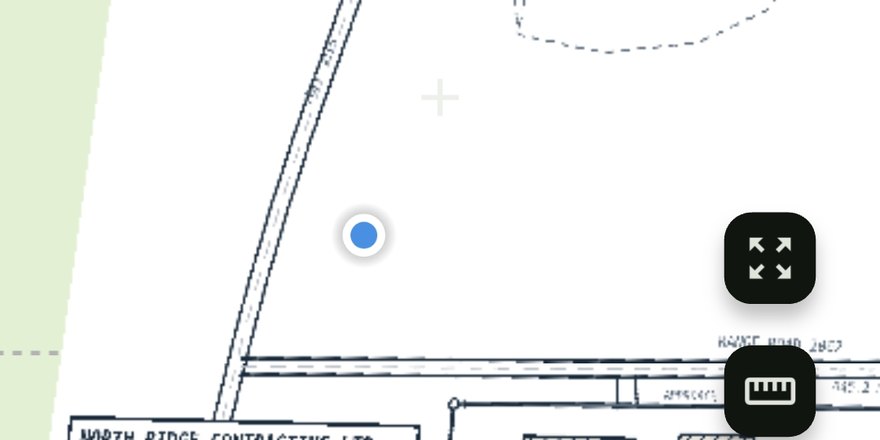
Fade your map over the terrain underneath — see both at once.
Drop pins, measure distances and areas — or record them by walking.
Coordinates on screen in the formats field paperwork actually uses.
Nothing to sign up for, nothing uploaded. Your maps stay on your phone.
The problems MapPak was built to answer.
Put the site plan on the phone and stand where the drawing says to stand. No plotter, no guessing off the print.
Load the sampling grid, walk to each point, and log exactly where you stood.
Your unit map or an old forest print, over real topo, working long after the last bar of signal.
Almost certainly. MapPak imports geospatial PDFs — the kind exported by QGIS and ArcGIS Pro — and GeoTIFFs, and they show up already positioned. And if your map has no coordinates at all — a drone photo, a screenshot, a scan — you can georeference it yourself in the app by matching a few points.
No. GPS works without any signal. Download the free offline basemap for any area in the world before you head out and everything — your map, the basemap, your position — works in airplane mode.
MapPak uses GPS only while you're using it. No background tracking, no sync services running behind your back.
You still see the topo basemap and your position — plus a heads-up that you've left your imported map's coverage.
Yes. One purchase covers commercial and professional use. No per-seat licensing, no "Pro" tier.
On your phone. No account, no cloud, nothing uploaded. Ever.
Offline field mapping. Your maps, your position, on your phone — nothing uploaded, nothing rented.